Ulrich Koch · 3 November 2026
Aerial Technology and Funding Initiatives Facilitate Oak Grove Restoration in Drought-Stricken Regions
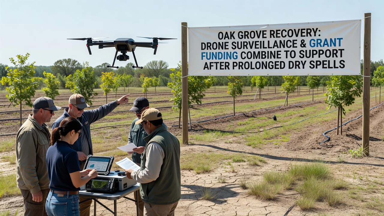
Drone surveillance paired with targeted grant funding has emerged as a practical approach for restoring oak groves impacted by extended periods of low rainfall, and observers note that such combinations allow for precise monitoring alongside financial resources directed at specific recovery tasks. In regions where prolonged dry spells have stressed native oak populations, these tools provide data on tree health metrics while supporting on-the-ground interventions like soil amendment and supplemental watering systems.
Monitoring Oak Health Through Aerial Systems
Researchers have deployed unmanned aerial vehicles equipped with multispectral cameras to track changes in oak canopy density and leaf moisture levels across affected woodlands, and data collected during flights reveals patterns of stress that ground surveys often miss. Those who study woodland recovery explain that drones can cover large areas in a single session, generating maps that highlight zones requiring immediate attention such as areas with declining chlorophyll content. This method supports repeated assessments without disturbing soil or understory vegetation.
Studies conducted by forestry programs indicate that regular drone flights, scheduled every two weeks during peak stress periods, help identify early signs of oak wilt or secondary pest infestations that follow drought conditions. The resulting datasets feed into models predicting recovery timelines, and figures from recent campaigns show improved detection rates compared with traditional visual inspections alone.
Grant Mechanisms Supporting Field Operations
Funding programs administered through environmental agencies have allocated resources specifically for oak grove projects that incorporate aerial monitoring components, and allocations announced in November 2026 included provisions for equipment purchases and personnel training. These grants often require applicants to demonstrate how surveillance data will guide restoration activities such as selective thinning or erosion control measures. Recipients report that combining financial support with technology reduces the time between data collection and action implementation.
One program example involves partnerships between local conservation districts and research institutions, where grant terms specify quarterly reporting on vegetation indices derived from drone imagery. Such requirements ensure accountability while building long-term records that track progress over multiple seasons.
Integration of Surveillance Data with Restoration Planning
Planners integrate drone-derived information with soil moisture readings and precipitation records to prioritize sites for intervention, and this layered approach allows teams to focus efforts on groves showing the slowest rebound rates. Evidence from coordinated projects shows that areas monitored closely receive targeted applications of organic mulch and native seed mixes, which help retain what little moisture becomes available during sporadic rains.
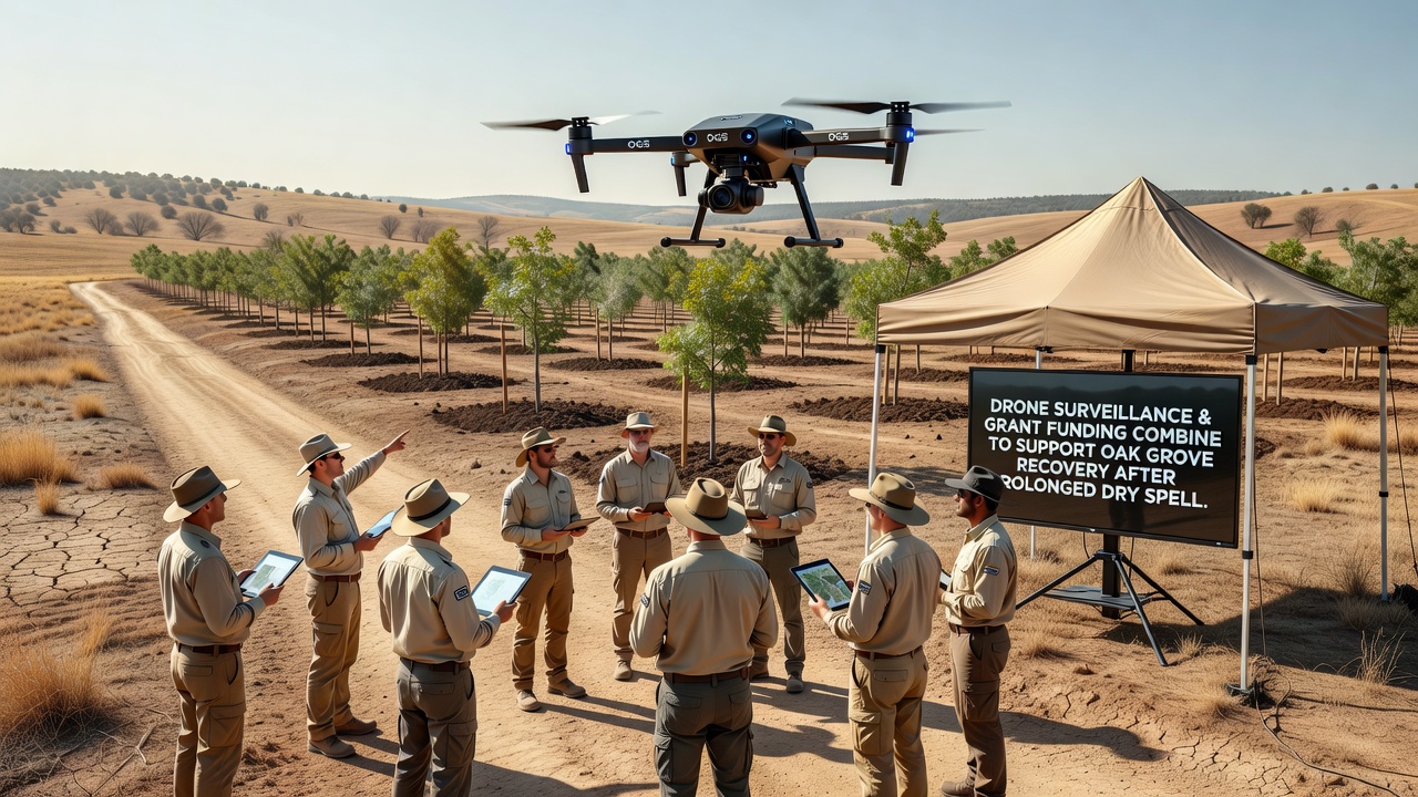
Case examples from collaborative efforts reveal that grant-funded crews use flight paths to mark boundaries for controlled burns or invasive species removal, and these operations proceed with greater accuracy when guided by current aerial imagery. The process connects monitoring outputs directly to budget line items, so expenditures align with documented needs rather than estimates.
Regional Examples of Combined Approaches
In several European woodland sites, similar drone and grant pairings have supported oak recovery following comparable dry periods, and reports from those initiatives highlight reductions in tree mortality rates within monitored zones. North American forestry services have also tested comparable frameworks, linking aerial surveys to federal and state funding streams that emphasize measurable outcomes in vegetation cover.
Academic groups at various universities contribute by refining algorithms that process drone imagery into actionable reports, and their contributions extend to training workshops funded through the same grant pools. This creates feedback loops where improved analysis techniques feed back into future funding proposals.
Conclusion
Drone surveillance combined with grant funding supplies both the observational capacity and the operational means to address oak grove challenges after prolonged dry spells, and ongoing projects continue to generate records that inform similar efforts elsewhere. The approach relies on repeated data collection paired with allocated resources, producing documented changes in grove conditions over time.