Yara Simon · 8 September 2026
Aerial Systems Advance Restoration Projects in Fire-Affected Sensitive Woodland Areas
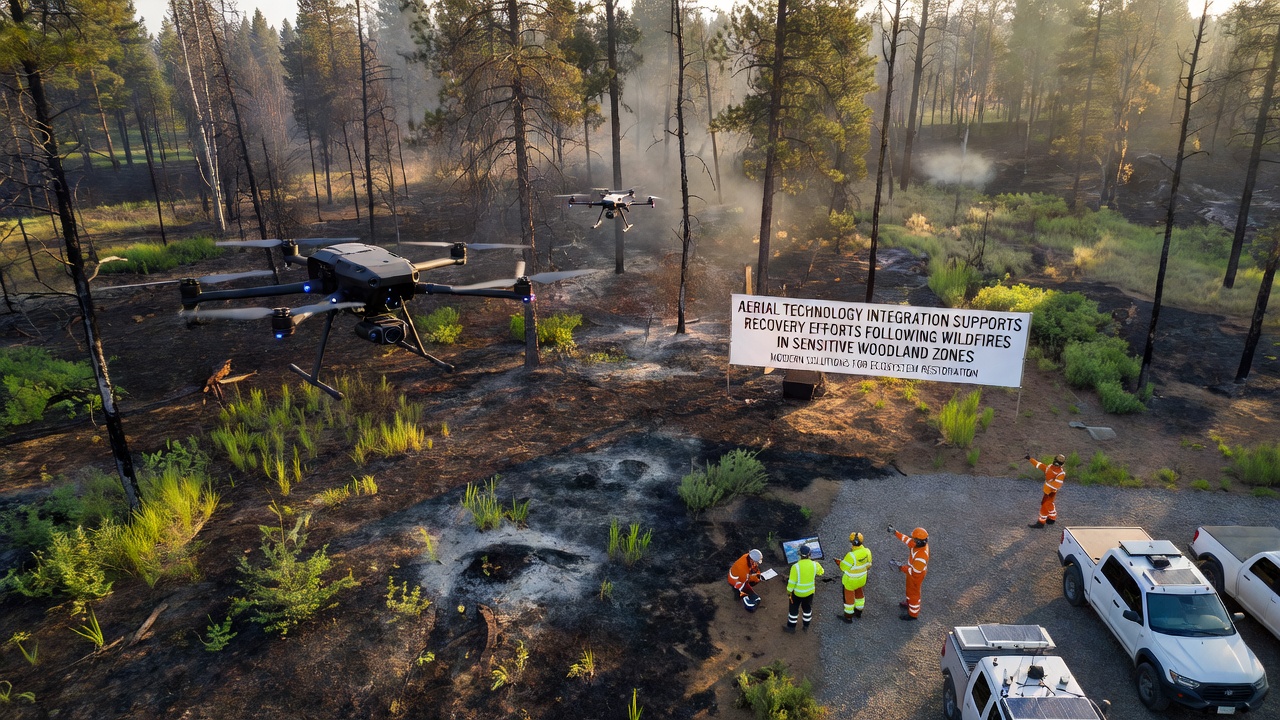
Wildfire seasons have grown more intense across multiple continents, and recovery teams now rely on aerial platforms to map damage and guide replanting in zones where ground access remains difficult, according to reports from the US Forest Service and the European Environment Agency. These tools combine drones, manned aircraft, and satellite feeds to collect high-resolution data on burn severity, soil stability, and remaining vegetation, which helps crews prioritize areas that need immediate intervention.
Operators launch fixed-wing drones and multirotor systems equipped with multispectral cameras and LiDAR sensors shortly after flames subside, and the resulting point clouds reveal changes in canopy structure that traditional surveys often miss, data shows from projects coordinated in 2025 and continuing into September 2026. Teams then overlay thermal imagery to locate smoldering pockets that could reignite, allowing crews to extinguish them before they spread into adjacent unburned stands.
Mapping Burn Severity With Precision Tools
Researchers at several universities have integrated satellite passes from agencies such as NASA and the Australian Space Agency with lower-altitude drone flights, and the combined datasets produce maps that classify areas into categories ranging from lightly scorched to fully consumed. Crews use these layers to decide where to apply erosion controls first, since slopes stripped of root systems can lose topsoil rapidly during the first autumn rains.
One study released in early 2026 tracked recovery across 12,000 hectares in the western United States and found that areas surveyed by aerial teams received targeted seeding within four weeks, whereas zones assessed only by foot patrols waited nearly three months for similar treatment. The shorter timeline reduced invasive grass establishment in several test plots, figures reveal from the same report.
Aerial Seeding and Mulch Application
Fixed-wing aircraft fitted with specialized hoppers now drop native seed mixes and wood-fiber mulch over steep or remote terrain that helicopters once handled exclusively. Pilots follow flight paths generated from the earlier drone surveys, and GPS-guided release systems keep coverage consistent even when visibility drops due to lingering smoke, records from Canadian forestry operations indicate.
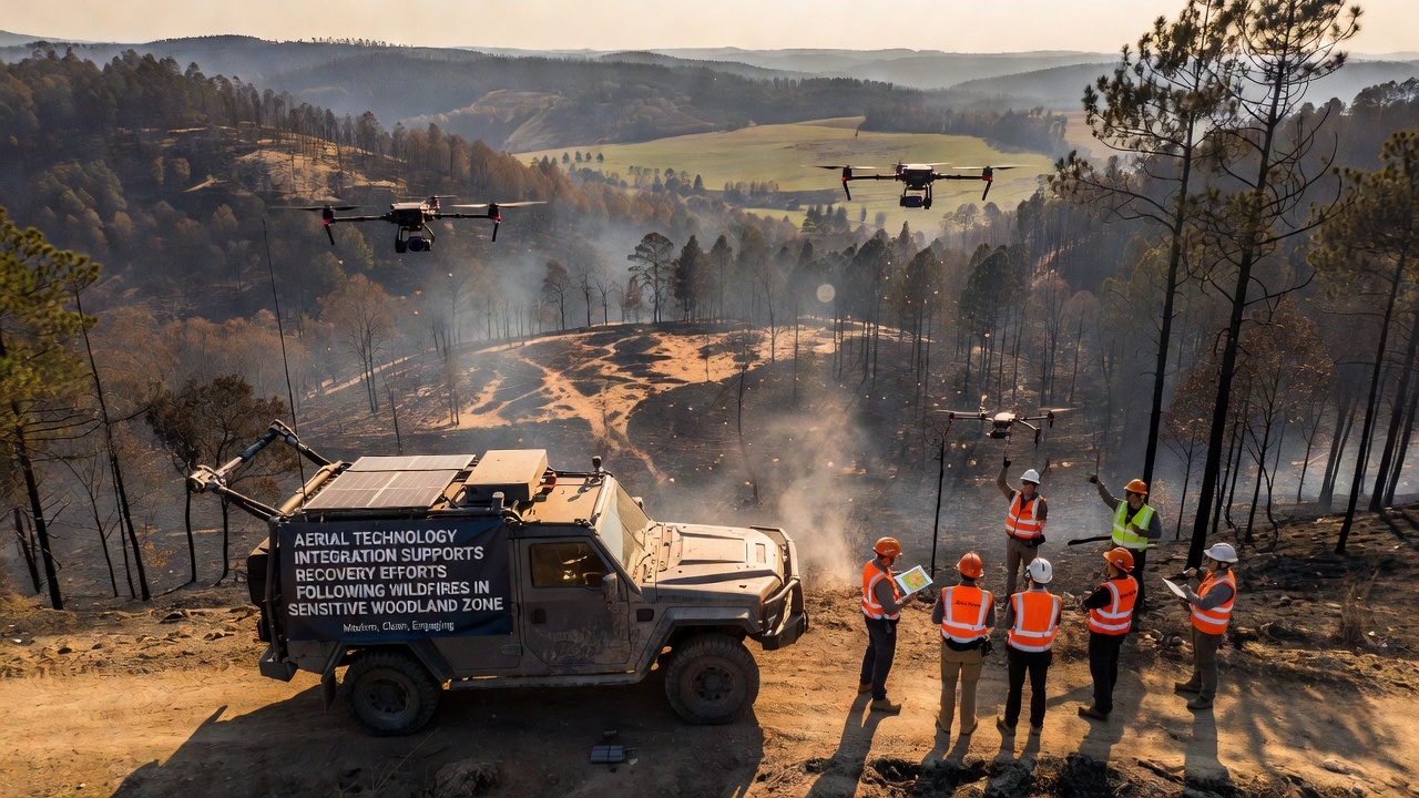
Ground crews still install straw wattles and check dams along stream corridors, yet the aerial component covers far larger surface areas per day. In September 2026, contractors working in the Pacific Northwest completed seeding on 8,500 hectares using this hybrid approach, according to state forestry department summaries. The same methods appear in European mountain forests where access roads were damaged during the fires themselves.
Monitoring Regrowth and Adjusting Plans
After initial treatments, repeated drone flights capture vegetation indices every six to eight weeks, and analysts compare the new imagery against baseline data collected before the fires. When certain species fail to establish, teams adjust the next seeding round rather than waiting for annual field visits. This feedback loop has shortened the time needed to reach 30 percent canopy cover in several monitored sites, data from a joint university-industry project shows.
Thermal cameras mounted on long-endurance drones also continue to scan for heat anomalies through the first two winters, and any hotspots trigger rapid dispatch of ground teams. Observers note that the combination of frequent aerial checks and targeted follow-up has lowered the number of flare-ups that escape initial containment in sensitive woodland zones.
Integration With Ground-Based Efforts
Local agencies still rely on chainsaw crews and hand planting in flatter, accessible sections, while aerial assets handle the steepest and most remote parcels. Coordination occurs through shared mapping platforms that update in near real time, and field supervisors receive daily briefings derived from the latest drone passes. This division of labor keeps personnel out of hazardous terrain until aerial data confirms that hazards such as unstable snags have been addressed.
Conclusion
Aerial technology now forms a core part of post-wildfire recovery protocols in sensitive woodland zones on several continents, and the approach continues to evolve as sensor resolution improves and flight endurance increases. Data collected through these platforms guides decisions on seeding timing, erosion control placement, and ongoing monitoring, while integration with ground crews ensures resources reach the areas that need them most. Continued investment in these systems supports faster stabilization of burned landscapes and reduces secondary damage from erosion and invasive species.